 Hide Table of Contents
 Tutorials
 About the API
 Work with the API
 Graphics and feature layers
 Popups and Info Windows
 Geoprocessor
 Operations Dashboard
 Create extensions
 Mobile
 ArcGIS Server Services
 References
 What's New archive
The following changes were made at version 3.1:
Features
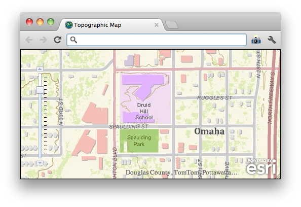
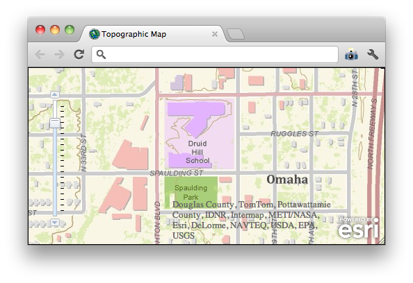
Attribution Widget added to the API to show information about the data sources used to build the map services displayed in the map. The screen shots below show the default version of the widget and the expanded version of the widget (the widget expands/collapses with a single click):


The widget automatically updates based on layer visibility and map extent. Attribution is automatically included when using the full build of the API. When using the compact build, it must be manually included. See the Attribution Widget API reference for more information, including the CSS classes used to change the look of the widget.
Additions and changes to the esri.Map class:
- wrapAround180 defaults to true
- New property: showAttribution to explicitly state whether or not attribution should be displayed
- New property: attributionWidth to specify the width of the attribution widget relative to the map's width.
Additions to the esri.layers.Layer class. All layers now have minScale and maxScale properties as well as methods to determine if a layer is visible at a specific scale. All layers now have attribution properties and methods to suspend and resume drawing. The Layer class documentation has more information.
The Overview Map now has public show and hide methods.
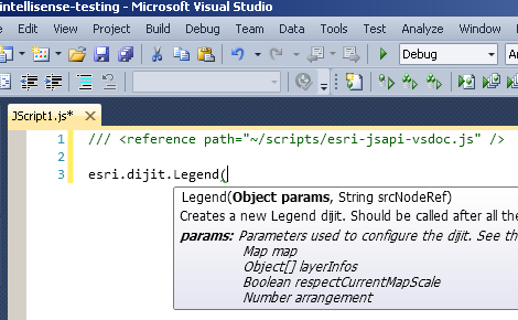
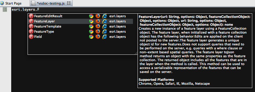
VSDoc for the ArcGIS API for JavaScript that provides intellisense in Visual Studio (2010 and 2012) and in Aptana 3 for classes in the ArcGIS API for JavaScript.
Visual Studio:

Aptana:

New Sample
Enhancements and Bug Fixes
- NIM083261: Use the bing REST API directly for image metadata instead of going through an adaptor.
- NIM083262: Print Widget: support extraParameters if print service has been customized.
- NIM083263: Print Widget: honor default visibility for all sublayers in a dynamic map service.
- NIM083264: WMTS: matrixWidth and matrixHeight should honor the settings in the service's capabilities
- NIM083265: Print Widget: bing maps hybrid layer fails to print.
- NIM083266: esri.tasks.FeatureSet.toJson() should ignore the featureSet's fields property when it is an empty array.
Dojo 1.7
Version 3.1 of the ArcGIS API for JavaScript uses Dojo 1.7.