 Hide Table of Contents
 Tutorials
 About the API
 Work with the API
 Graphics and feature layers
 Popups and Info Windows
 Geoprocessor
 Operations Dashboard
 Create extensions
 Mobile
 ArcGIS Server Services
 References
 What's New archive
Support for Geometry operations in Arcade
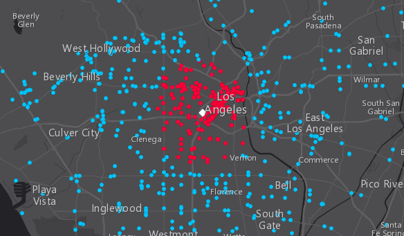
Arcade expressions now support geometry operations that allow you to perform overlay, proximity, topological relationship testing, and measurement operations. We added the Create a Geofence with Arcade sample to demonstrate how to use some of these functions in a renderer and popup.

Please keep in mind that Arcade expressions execute for each feature. Thus, using multiple geometry operations within the context
of the labeling and visualization profiles can be expensive and severely impact the performance of the application.
Also note that geometries fetched from feature services, especially polylines and polygons, are generalized according to the view's scale resolution.
Be aware that using a feature's geometry (i.e. Geometry($feature)) as input to this function will yield results only as precise as the
view scale. Therefore, results returned from geometry operations in the visualization and labeling profiles may be different at each scale level.
Use these functions at your discretion within these contexts.
Arcade geometry functions used in popups will always use the feature's full resolution geometry.
Arrow styles on SimpleLineSymbol
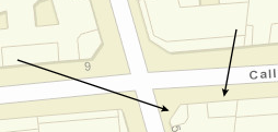
SimpleLineSymbol now supports displaying arrow markers on the beginning and/or ending vertices of a polyline.
  lineSymbol.setMarker({
    style: "arrow",
    placement: "end"
  });

New locale: Slovenian
Version 3.23 adds support for Slovenian (sl) locale. See Localization topic for more information about using different locales.
Updated vector basemaps
The named vector basemaps have been updated to use the new v2 vector tile basemaps from Esri. This affects "dark-gray-vector", gray-vector", "streets-vector", "streets-night-vector", "streets-relief-vector", "streets-navigation-vector" and "topo-vector".
More detailed labelling for Bing hybrid
The Bing Maps Aerial with Labels (MAP_STYLE_AERIAL_WITH_LABELS) option in VETiledLayer have been updated to use the latest tile service from Microsoft.
API updates and enhancements
- New object
esri/support/expressionUtils. - New property
markeron classSimpleLineSymbol. - New method
setMarker()on classSimpleLineSymbol.
Bug fixes and enhancements
- BUG-000107338: Fixed an issue where polygons would lose fill color at large scale levels when viewed in Mozilla Firefox.
- ENH-000108717: Updated documentation to clarify that planar distances are used in the offset() method for both geometryEngine and geometryEngineAsync.
- BUG-000108014 - Fixed broken WMTS - resource info sample.
- BUG-000107513 - Fixed an issue where GraphicsLayer events would not fire properly using Mac OS Safari browser.
- BUG-000106733 - Fixed an issue where FeatureLayers would inaccurately render polygon features generalized.
- ENH-000108930 - Added a warning message when a browser attempts to load a VectorTileLayer that does not support WebGL.
- BUG-000108150 - The Editor widget can now be instantiated when WMSLayer is present.
- BUG-000109264 - Fixed an issue where some secured VectorTileLayers would not load properly if handled via a proxy file.
Additional packages
Version 3.23 of the ArcGIS API for JavaScript include:
- dgrid versions
- dgrid version 1.2.1 (since version 3.22)
- dgrid version 0.3.17 (since version 3.13)
NOTE: If working with version 1.1.0, please reference the
dgrid1directory, whereas version 0.3.17 should reference thedgriddirectory. Please refer to the dgrid 0.4 Migration Guide for additional information on migrating to the newer version.
- Dojo version 1.13.0 (since version 3.23)
- dstore version 1.1.2 (since version 3.22)
- put-selector version 0.3.6 (since version 3.13)
- xstyle version 0.3.2 (since version 3.17)
Additional Resources on GitHub
Be certain to check out any updates to the repository on GitHub with TypeScript definitions for the JS API as well as the jshint options file used by the JS API team.